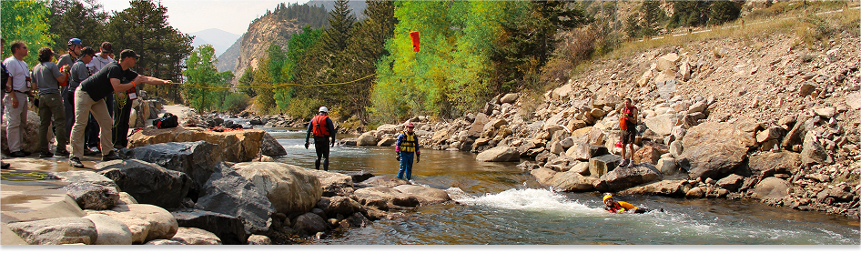
Mountain Rescue Association Webinar Series
The Mountain Rescue Association Mapping Platform
Read
Multiple Presenters | Webinar |
In this virtual training, participants will learn hands-on skills and discover geospatial resources that support their mission. This session is designed to help MRA Members and their partners:
- Review the 2015 Mission Data Collection Results
- Learn how to use the 2015 Mission Data Collection Portal
- Explore the use of GIS and US National Grid in Search & Rescue (SAR) operation workflows such as assignment tasking, incident spatial analysis, and map production
- Learn about the suite of existing USNG and GIS decision support tools already available to support SAR operations
The audience for this training is primarily SAR professionals. It is also beneficial for GIS professionals and staff who support SAR operations.
The presenters are Monty Bell, Mountain Rescue Association and Paul Doherty, National Alliance for Public Safety GIS Foundation.